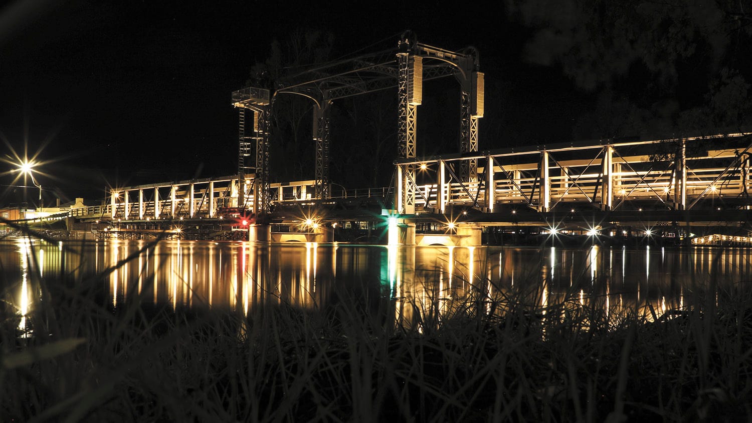
Flood Warning
The State Emergency Service has warned of possible moderate flooding for Friday, September 2 for the Barham area. Minor flooding is also expected at Deniliquin and Stevens Weir. Releases of unregulated flows from the Hume Dam combined with flood...

The State Emergency Service has warned of possible moderate flooding for Friday, September 2 for the Barham area. Minor flooding is also expected at Deniliquin and Stevens Weir.
Releases of unregulated flows from the Hume Dam combined with flood waters from the Kiewa River have caused minor flooding along the Murray River at Corowa, where river levels were expected to remain steady above the minor flood level (4.60 metres) through to the end of the week.
Hume Dam remains at 96 per cent holding 2,891,717 megalitres and Dartmouth at 99 per cent 3,815,260 megalitres. Lake Eildon is sitting at 95% and releases have commenced to manage the airspace remaining.
At the time of printing, the Murray River’s flow rates downstream of Yarrawonga are 58,000 ML/D and 28,422 at Torrumbarry. The Wakool River has 1,450 ML/D at the Barham Road, the Niemur River has 4,810 at the Barham Road and the Edward River is 5,344 ML/D at Moulamein.
With the arrival of spring, which is typically the highest inflow season for storages, combined with a La Nina, the current flood may just be the beginning. As unregulated flow, the current flood watering the forests, creeks and rivers is not classified as environment water, despite having an environmental benefit. Good to remember when the federal government wish to buyback more water for ‘the environment’.
The SES recommends:
- People in areas likely to be impacted by flooding should prepare for increasing flood effects.
- All campers and caravans relocate away from the sites next to water courses.
Actions that you can take to safeguard your family, pets, livestock include:
- Avoid storm drains and pipes, ditches, ravines and rivers. Never drive, walk, ride through, play or swim in floodwater – it is dangerous and toxic. If it’s flooded, forget it.
- Farmers and businesses are encouraged to:
- Move pumps, animals and equipment to higher ground before roads close and organise for sufficient stock feed and water for your animals.
- Move poisons, waste and chemicals to high storage locations.
- Gather important business documents and records and keep them with you.
The following impacts are also likely to occur in surrounding areas:
- Low-lying areas, paddocks, backyards and parts of buildings below ground level can flood, especially if they are near water courses.
- Local roads, footpaths and cycleways, and low-level bridges can close.
- Access to properties and towns is likely to be cut and these areas become isolated.
- Power, water, sewage and other utility services may be impacted.
- Evacuation of flood-affected areas may be required.
- The Burrumburry Creek offtakes can impact Koondrook and Perricoota State Forests.
- Cow, Barber and Thule Creeks and Wakool River may be impacted and water rising.
For emergency help in floods and storms, call the NSW or Victoria State Emergency Service on 132 500. In life threatening situations, call triple zero (000) immediately.


